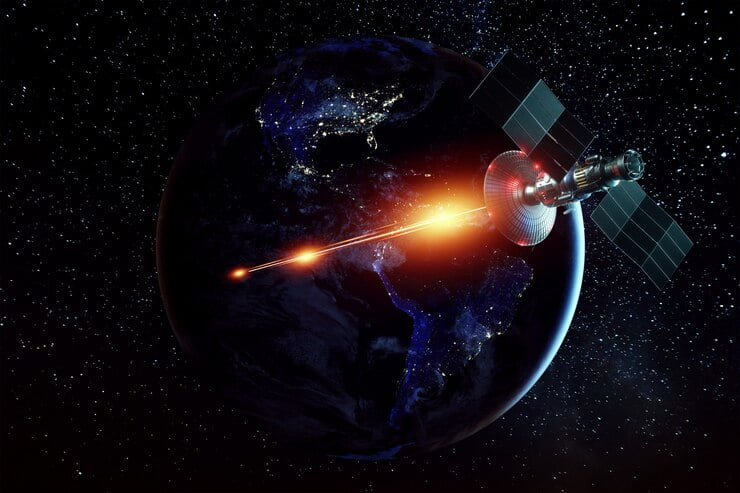
Agriculture has been and remains one of the primary users of remote sensing tools. Satellite imagery allows farmers to understand all the problems and stay abreast of changes in the fields.
Producers worldwide can get accurate and reliable information about the productivity of their farmland, optimize resource use and save money. You can find a lot of evidence of the effective use of remote sensing for farming on https://eos.com/. In this article, you will find the main common misconceptions about the use of satellite imagery in agricultural production.
Well-known Myths About Satellite Imagery
1. Customers Don’t Trust Results From Satellite Data
Satellite data can help Scouts in their work, guide their actions and confirm information. With the help of vegetative indexes, the crop’s health can be checked, and the result disseminated to other farmworkers and decision-makers.
Using a phone or tablet, various platforms and applications based on satellite imagery enable farmers to identify water shortages, pests, and diseases. In addition, they can be used to create reports and share them conveniently.
2. Satellite Images Are of Use Only Over the Growing Season
While multiple images during the growing season can help provide essential information in some use cases, they are still not sufficient for meaningful monitoring. It will not help you make the most effective actions to improve productivity.
Some crops require specific actions at certain times, so it is essential to observe them at all stages of growth. A reliable data source with up-to-date images will give you a lot of helpful information that you can use to improve your yield. It is vital in cloudy conditions, which can adversely affect data continuity.
4. Drones are The Best Solution For Insights
Drones bring great value by flying over the fields and providing high-quality images and detailed information. However, satellite imagery is cheaper, and the technology allows more extensive area coverage. Another complication associated with drones is that you need to think and assign a route in advance when using them.
Satellite imagery is unmatched in providing reliable economic information at scale. With them, you can trade spatial resolution for coverage. In addition, the satellites do not need to be previously assigned tasks.
5. Public Data Vs. Commercial Satellite Data
The Landsat and Sentinel missions’ observation data of our planet are publicly available. Researchers, analysts, and scientists can get a lot of helpful information from them.
However, extracting information from data is not free, unlike the data itself. Modern cloud APIs provide the ability to process, transfer and deliver data ready for analysis.
6. Customers Don’t Be Able to Do Anything With Imagery
There are many practical uses for satellite imagery. You can combine data from different parts of the electromagnetic spectrum and evaluate the viability of your crops. It is possible thanks to various indices, including NDVI, which will tell the farmer a lot about the stress and development of the plant.
In addition, using the API, you can create analytical visualizations that make it possible to optimize the use of various resources, turning off fertilizers, water, pesticides, and so on.
Final thoughts
Despite the many myths that have formed around satellite imagery and its capabilities, this tool is extremely powerful. Satellite imagery allows farmers to cover and observe crops over large areas. In addition, various platforms help get valuable information from satellite imagery and stay up to date with all the problems and changes in the fields.
Read Also:


